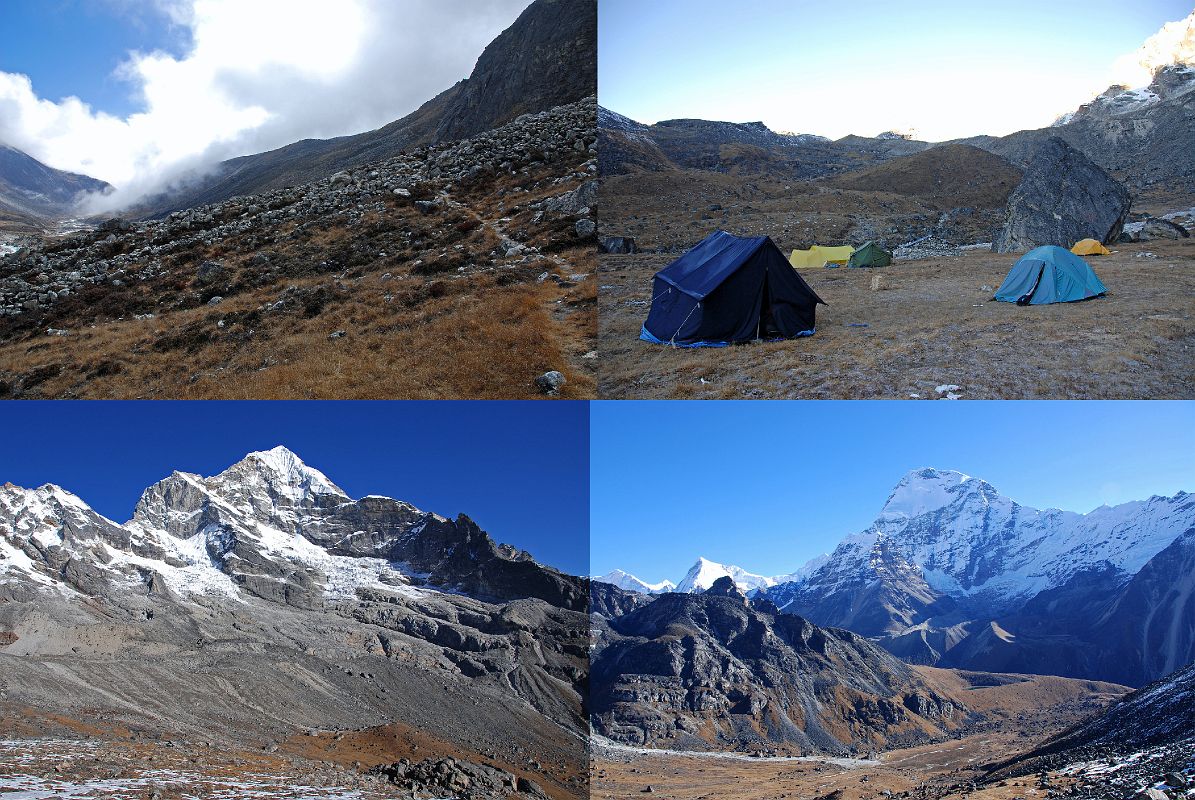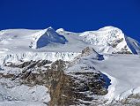


 12 01 Trail From Hongu Valley To Kongme Dingma Camp, Peak 41 South Face And Chamlang West Face From Ridge Above Kongme Dingma [11 of 14]
The trail follows the Hongu River and then and traverses up towards the Mera La, taking 1:55 to trek from our lunch stop to our camp at Kongme Dingma (4700m), a wide, flat and grassy spot with a few shops and a huge boulder. The next morning, the trail continues climbing for 65 minutes up an easy hill to the its crest with views of the south ridge at the end of Peak 41, Baruntse, P6770, Makalu, Kongme Dingma, and Chamlang.
